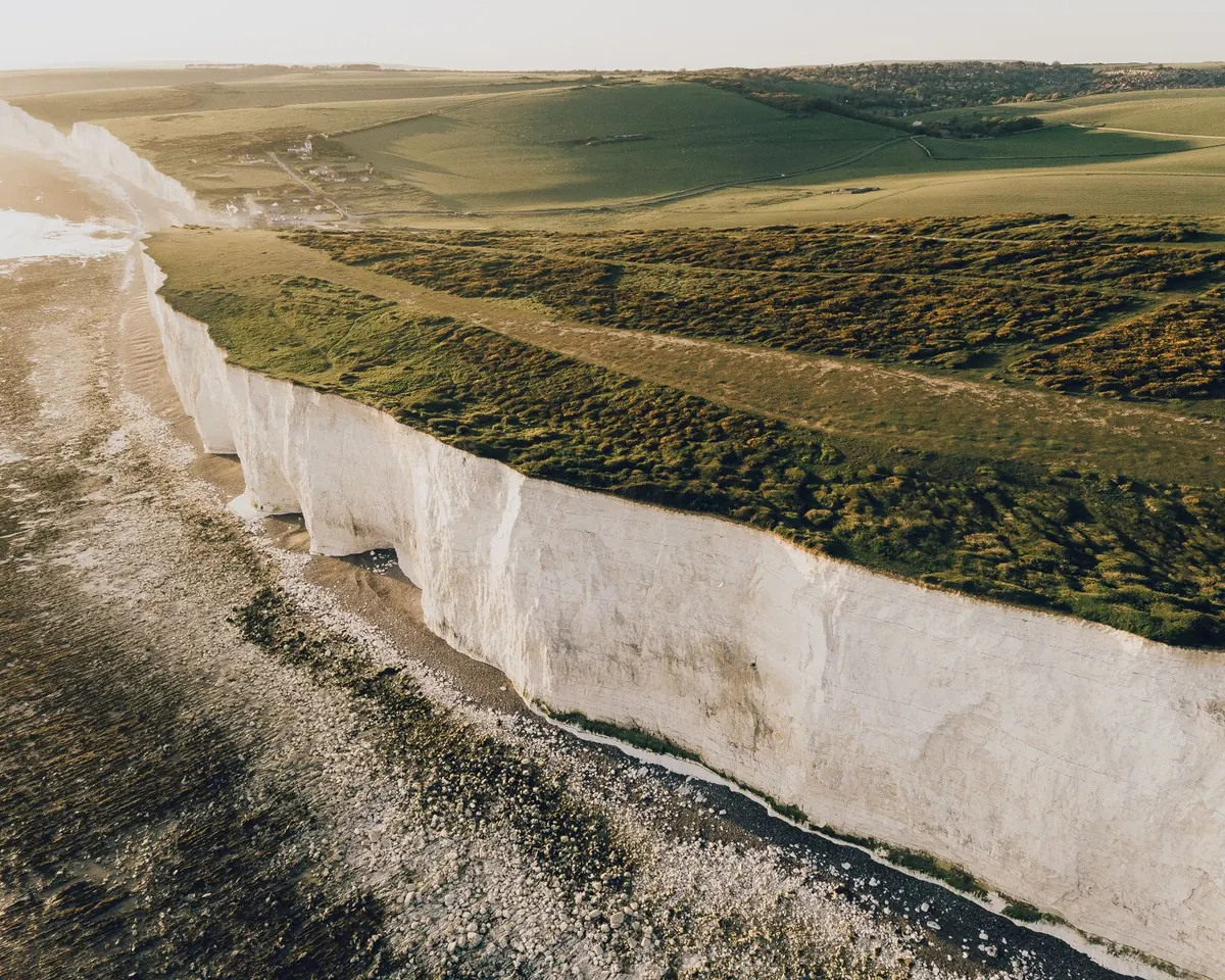
Most people planning a coastal walk check the weather forecast, then glance at a tide table almost as an afterthought. It is usually the tide that decides whether the day works. A beach that stretches for a mile at low water can be a shoulder-high wall of sea three hours later, and a path that hugs a cliff base can go from pleasant to impassable in the time it takes to eat a sandwich. Ten minutes spent reading the table properly pays you back on every walk you take.
A tide table is a set of predictions, not observations. Each one is calculated for a standard port and then adjusted for nearby harbours, bays and estuaries. That matters when you pick one up: a table printed for a port thirty miles along the coast will be roughly right, but it can be twenty minutes to an hour out at your bay, and the heights can differ noticeably too.
The heights themselves are given above chart datum, a deliberately low baseline chosen so that most low waters come out as positive numbers. It is not mean sea level. So a low water of 0.3 m does not mean the sea is ankle-deep where you are standing; it describes a level relative to that baseline. How much sand you can actually walk on depends on the shape of the seabed, and that is something the table cannot tell you.
A typical row in a UK tide table carries four pieces of information, and all four matter:
Read the four entries for your day together, as a set. Two highs and two lows describe the shape of the tide, and that shape is what you are really walking on.
Say your day reads: low water 0.9 m, high water 4.5 m, low water 1.1 m, high water 4.3 m. Subtract the low from the next high and you get a range of roughly 3.4 m. Now compare a day that reads 2.1 m, 3.4 m, 2.3 m, 3.3 m — a range of about 1.3 m.
Those are two very different days on the same stretch of coast. The first will drain a wide beach, expose sandbars and open up causeway routes, then flood back fast. The second will leave the sea sitting high on the shore all day, with a much smaller slice of beach on offer at low water. If you only remember one thing from a tide table, remember the range.
The range does not stay the same from week to week. It grows and shrinks on a roughly fortnightly cycle driven by the alignment of the sun and moon. Around the new moon and the full moon, the two pull together and you get spring tides — the biggest ranges of the month. Around the first and third quarters, they work against each other and you get neap tides, with much smaller ranges. The names have nothing to do with the season.
This is why the same walk can feel completely different a week apart. On a big spring low, a tidal causeway or a stretch of firm sand may be open for a couple of hours — but the flood that follows arrives with real purpose, especially in estuaries and flat sandy bays where the water can travel across the flats faster than a person walks. On a spring high, beaches disappear, cliff-base paths get pinched, and slipways you were counting on are underwater. Neap tides are gentler, and because high water sits lower, they are often the better choice for a route that squeezes around a headland. The trade-off is that low water may not drop far enough to uncover the beach or causeway you came for.
Once you know the range, you can build a window rather than guess at one. A simple routine:
Note your window, then tell someone where you are going and when you expect to be back. Carry a paper map, know where the escape routes off the beach are, and identify the points where a rising tide would leave you with no way round — those are the places that decide your turnaround time.
Check the local harbour authority, the coastguard or a trusted local source for anything you are unsure about, particularly on causeways and estuaries where local knowledge beats a printed table. If the sea is already where you wanted to walk, turn back. There will be another low water in a fortnight, and the beach will still be there.
Photo: Pexels / Pixabay